The basic Google Earth integration for Google Maps in Maps and Semantic Maps is finished!
This is really cool, and was ridiculously easy to do. The output increased just one tiny line of JavaScript (Way to go Google Maps/Earth API!). The changes to the extensions themselves where also relatively small, although I did have to refactor some tasks from the main parser function in Maps to the service specific functions (snif). This change allows more diversity in the parameters for each service, and would probably have been required for the Open Layers integration anyway.
I hope everyone can grasp the enormous complexity of the code required to add the Google Earth map type to a Google Map. You have to add this parameter to your wiki code: earth=on. Suggestions to simplify this monster down are welcome of course 🙂
A thing to remember when enabling the Google Earth map type is that the default map type will be ‘earth’, and not ‘normal’. So when you want a normal map to be displayed when the page loads, be sure to add type=normal. I’ll add a more thorough explanation of this to the extension page of Maps later on.
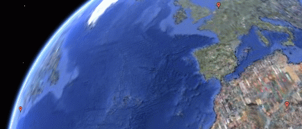
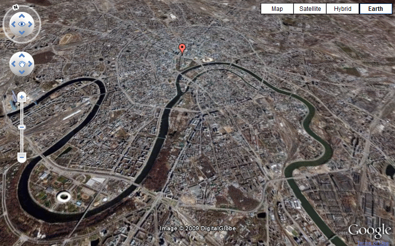
Now, time for some nice screenshots – admitted, they are no way near as cool as the real maps.

I’m considering to make a nice vid tutorial about Maps and Semantic Maps if they are finished enough before my deadline, to both promote the extensions and show off how epic they are 🙂
